Astrocartography vs Local Space: Where on Earth vs Which Direction
Astrocartography vs local space astrology: one asks where on Earth a planet is angular, the other asks which compass direction it points from the place you stand. How they differ and how to use both.

Photo: Anastasia Petrova / Unsplash
The short version. Astrocartography asks where on Earth is a planet angular. Local space asks which direction does a planet point from here. One scans the globe. The other works from a single place outward.
Two ways to put a planet on a map
Both start from the same sky at your birth, and both draw lines. What differs is what the lines are.
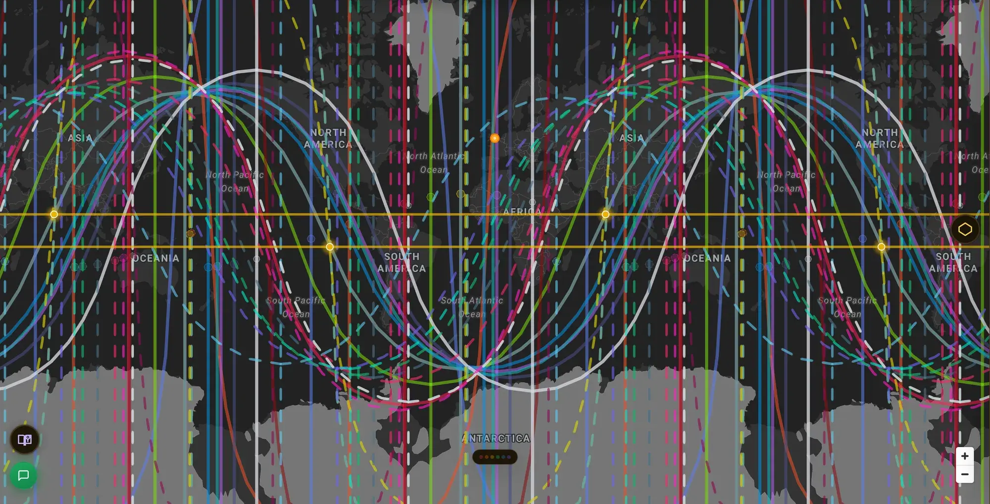
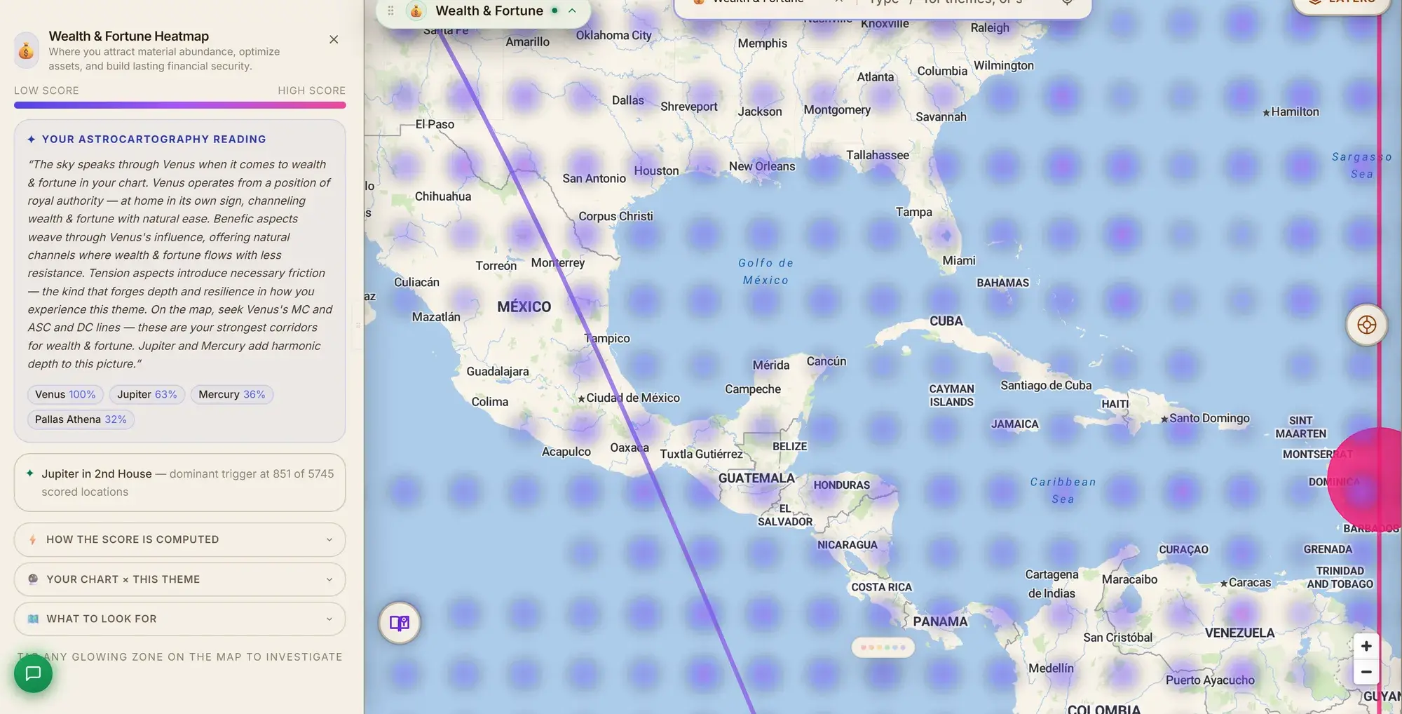
Astrocartography draws four curved lines per planet around the whole Earth: where it was rising, setting, overhead or underfoot. A line is a set of places. If a line runs through a city, that planet was angular there. See the beginner's guide for the full picture.
Local space draws one straight line per planet, starting from a single place. Each line points along the compass bearing where that planet stood in the sky from that place at your birth. A planet due south of you makes a line that heads due south. The question is not where but which way.
An example
Take a demo chart, born 15 June 1990 in London. It is not a real person.
Looking from London at that moment, Jupiter stood almost due south, a bearing of about 178 degrees, and high in the sky, about 61 degrees above the horizon. Its local space line heads from London nearly straight south, and because Jupiter was above the horizon, the line is solid.
Saturn stood north-northwest, at a bearing of about 342 degrees, but it was well below the horizon. Its line points that way too, and it is dashed.
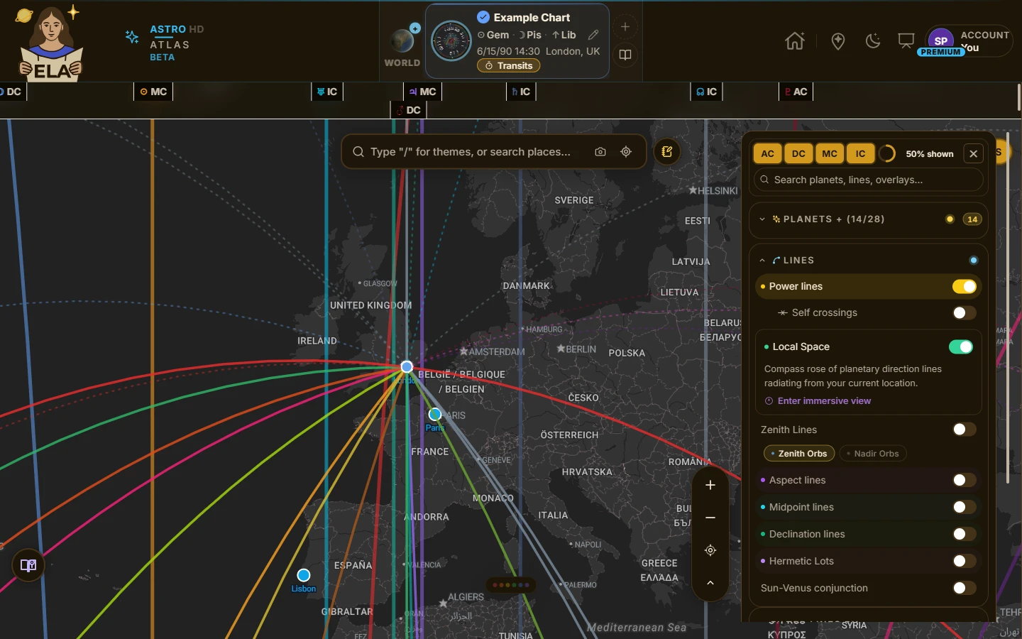
Local Space on for the example chart: straight lines fan out from London, one for each planet.
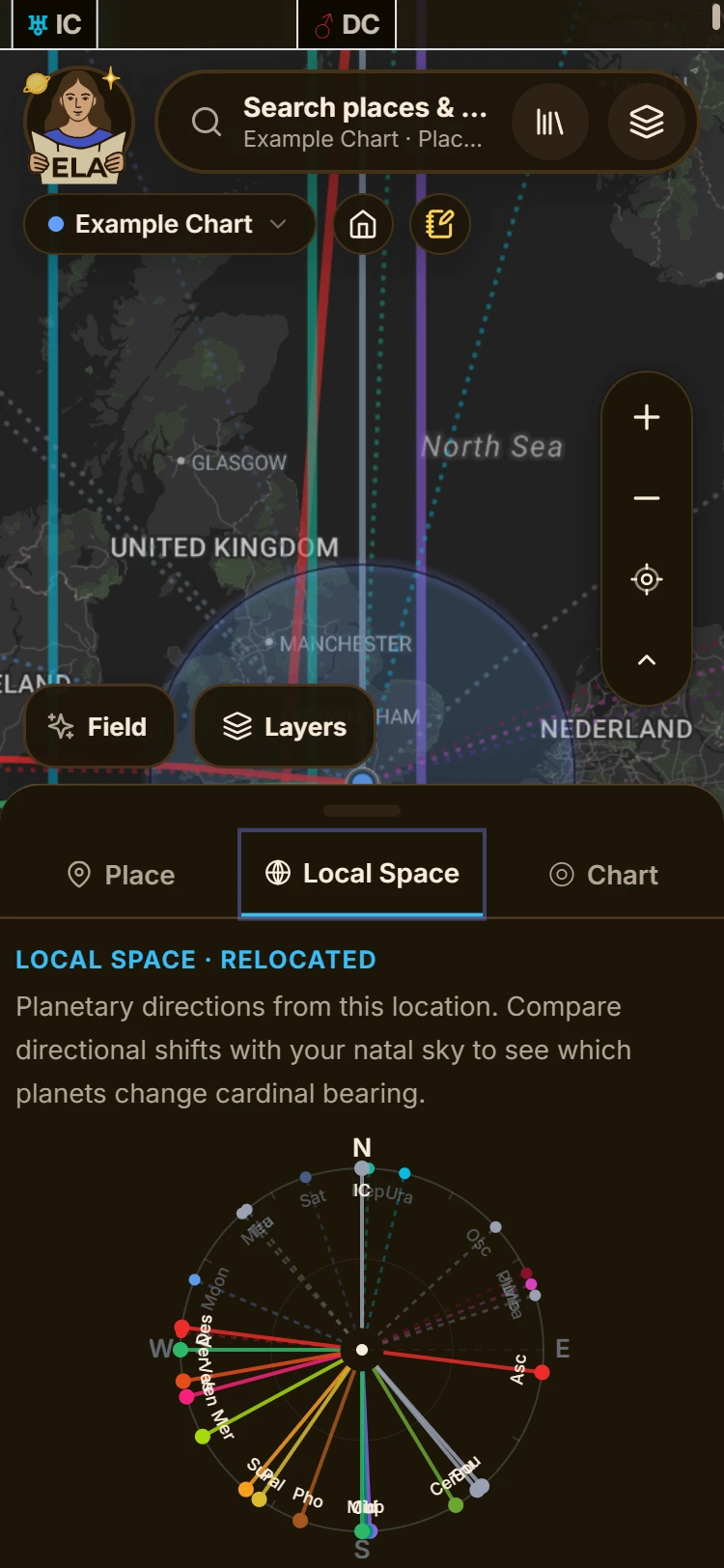
On a phone, the Local Space tab shows the same bearings as a compass. Saturn is the dashed line to the north-northwest. Jupiter runs solid, almost due south.
The astrocartography version of the same two planets is a different picture: curved lines crossing oceans, with Saturn's IC line, for instance, passing about 50 kilometers from Milan. The two pictures do not contradict each other. They answer different questions about the same sky.
How they differ
| Astrocartography | Local space | |
|---|---|---|
| Question | Where on Earth is a planet angular? | Which direction did a planet point from here? |
| Shape | Curved lines across the globe | Straight lines out from one place |
| Starting point | None, it covers the whole Earth | A single place, such as your birthplace |
| Scale | Cities and countries | A home, a neighborhood, a journey |
| Best for | Choosing where to be | Using where you are |
| Sensitive to birth time | Yes | More so |
The last row matters in practice. A planet's compass bearing changes quickly with the hour, so a line from local space moves more than an astrocartography line if the birth time is off by a few hours. If you are not sure of your time, treat local space as a rough guide.
What local space is good for
Because a local space line starts at one place, it works well at the human scale. People use it to think about:
- Direction at home. Which side of a house or a room carries which planet, such as where to put a desk or a bed.
- Direction of travel. Which way to head on a trip, a walk or a move across a city.
- A second look at a place. After astrocartography has helped you pick a city, local space from where you now live adds a layer of direction.
It is not the best tool for choosing a city, because a straight line from one place does not say much about a far-off place that is not on it.
In ELA Map
Local space is a layer on the map. Turn it on and the lines start from the place you have selected, or from your birthplace if none is selected. Solid lines are planets above the horizon, dashed lines are planets below. Each line has a reading, and there are readings for all eight compass points. On a phone you can open a compass and a view of the sky above you, and the view can follow the phone as you turn. Local space is part of Premium.
Which one do you need?
If you are asking where should I live, start with astrocartography, and read the relocation chart for the places you shortlist (astrocartography vs a relocation chart explains that step). If you are asking how should I use the place I am in, local space is the one to reach for. Many people eventually use both. Which map do you need lays out the choice in one page.
Whichever you use, treat it as a lens, not a verdict. A line describes what a direction or a place tends to call out of you. It does not decide anything for you.