Astrocartography for Digital Nomads and Remote Workers
Astrocartography for digital nomads: how to use a relocation map alongside visas, cost and community rather than instead of them, and how to read a rotation of places rather than hunting for one.
Photo: Abby Rurenko / Unsplash
For most of history, the question of where to live answered itself. You lived where the work was, or where your family was, and the number of people who genuinely chose from the whole map was very small.
That constraint came off for a lot of people, fast. What replaced it is not freedom exactly. It is an open question with almost nothing to help you answer it.
Ask a nomad how they picked their last city and you will usually get a shrug and a story: someone mentioned it, the visa was easy, the flight was cheap. Those are real reasons. They are also, for a decision this large, remarkably thin.
If you can work from anywhere, the question stops being whether you can move and becomes where, which is a harder question with fewer good tools. Astrocartography adds one layer to that decision: what a place tends to amplify in you. It sits alongside visas, cost, safety and community, never above them.
What the existing tools actually cover
The infrastructure for this life is genuinely good now, and it is worth being clear about what it already does well.
Cost of living, internet speed, visa rules, safety indices, weather, tax residency, coworking density, how many other remote workers are around. All of that is well mapped, and you should use it. Those tools answer the question of whether a place is workable.
What none of them touch is the part people actually agonise over afterward. Two cities can score nearly identically on every practical measure and land completely differently once you are living in them. One of them you settle into. The other you spend six months feeling faintly wrong in, and you cannot point at anything specific, because nothing is specific. The wifi was fine.
That gap is where this fits. Not as a replacement for the practical layer, which it cannot do, but as a description of the variable those tools do not measure: you.
The order that works
Shortlist practically first. Visa, cost, healthcare, safety, connectivity, time zone overlap with the people you work with, whether you know anyone. Anything failing on those is not a candidate no matter what your chart says. A line does not extend a visa.
Then read the shortlist against your map. Three or four real candidates, checked one at a time.
The inverse order is how people get hurt. Generating a shortlist from the map produces places chosen for symbolism and vetoed by reality, and it is the exact failure mode this field encourages: the map as departure board, the completing place always one more move away.
Comparing regions rather than hunting single cities. Useful when your shortlist is "somewhere in Southeast Asia for the next six months" rather than one address.
Calibrate before you predict
Here is the step that separates people who get something real out of this from people who collect pretty maps.
Before you read anywhere new, read the places you have already been.
You have an advantage almost nobody else has. If you have lived in eight places in three years, you have eight data points, with your own memory of how each one felt. Pull up the map for each and see whether the lines describe what you actually experienced. Where it lands, you have earned some trust in the tool. Where it does not, you have learned something more useful than any forecast.
Most people get one or two moves in a lifetime to test this. You get one a season. Use it.
Reading a rotation instead of a destination
The literature on this subject is written almost entirely for people making one permanent move, which does not describe how you live.
Some adjustments that follow from that.
Short stays sample, they do not settle. A demanding line can be genuinely interesting for a month and grinding for three years. Weight what a place asks of you against how long you intend to stay and how much of your life you plan to build there.
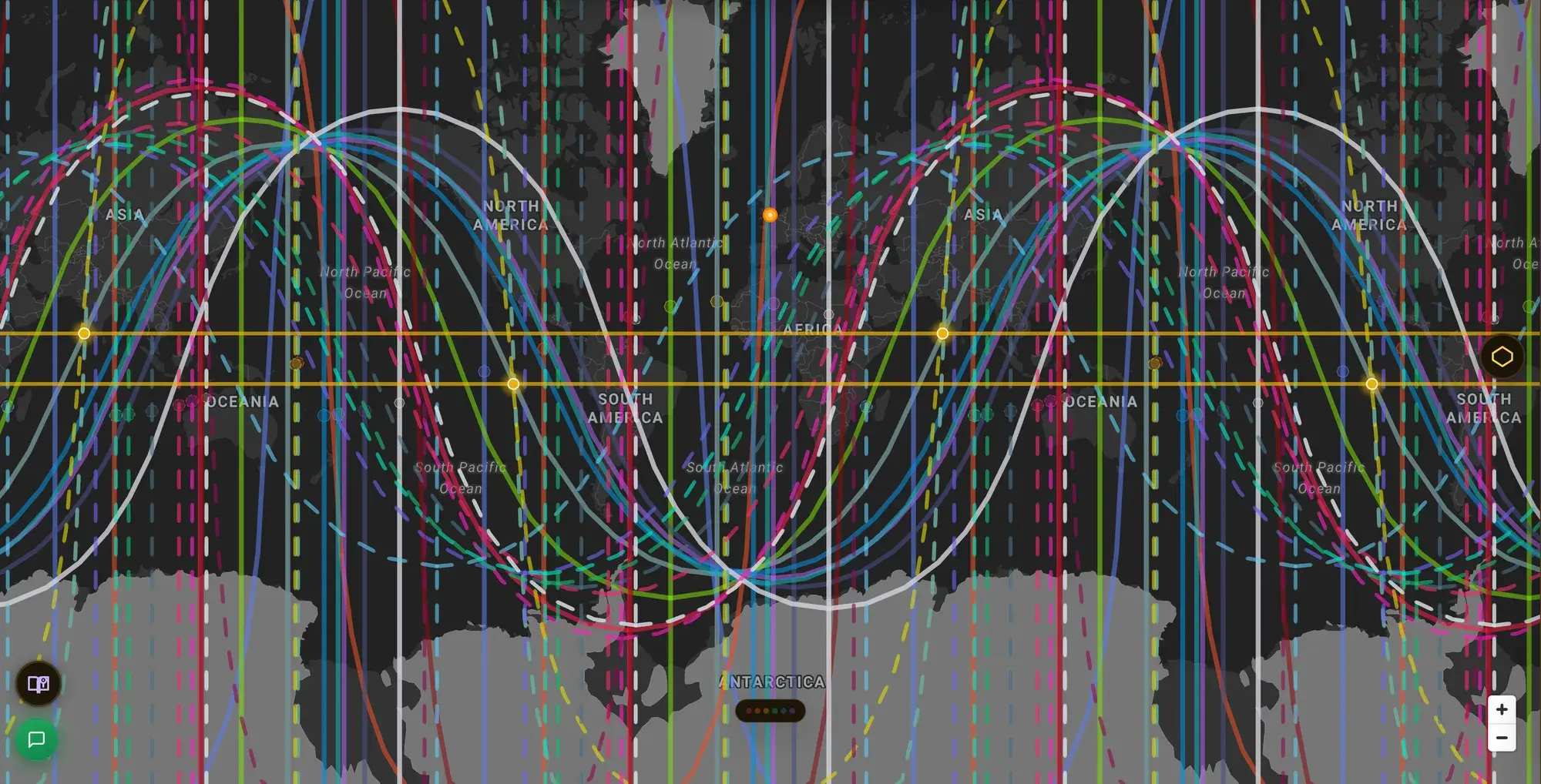
Watch your latitude, not just your cities. Where two of your lines cross, the intersection establishes a latitude, and the pairing runs along that whole latitude rather than sitting at the crossing point. If you rotate east and west along a band, as many people do, you may be staying inside the same crossing without noticing. That is a pattern worth knowing about, and it is invisible if you only ever look at cities one at a time. ELA Map draws those as crossing lines, labelled with both bodies and their angles.
A base and a rotation can differ. Nothing says the place you keep your things and rest has to be the place that sharpens you. Plenty of people run a quiet base and travel into more demanding ground deliberately.
Two charts, not one. If you travel with a partner, the same city reads differently for each of you, and the honest version of this shows both rather than averaging them into a single verdict. That is family relocation, which applies to a couple in a rental as much as to a household with kids.
The failure mode to name out loud
This field is full of restlessness with better scenery.
The genre is built on it: sort the lines into good and bad, frame every story as a move away from somewhere that does not favour you, and the reader always has one more place to go. For someone already mobile, already able to book a flight this week, that framing is not harmless. It gives a very old itch a cosmic justification.
The instrument does not exist to get you to leave. If a place is genuinely wrong for you, that will show up in your life long before it shows up on a map. And if you are moving to escape something portable, the map will not help, because you are bringing the variable with you.
The version of this worth practising is quieter. Know what a place tends to ask of you. Choose it on purpose, or choose to leave on purpose. Then actually live there, which is the part no tool does for you.
Where to go next
- How to read your astrocartography map, step by step for the reading order, including the calibration step.
- Best places to live by Human Design and astrocartography for why there is no single best place.
- Family relocation astrology for reading a place against more than one chart.
- Is astrocartography real? for what this can and cannot honestly claim before you plan around it.
Your map is free to look at. Start with the last place you lived.
Place is personal.